Short answer
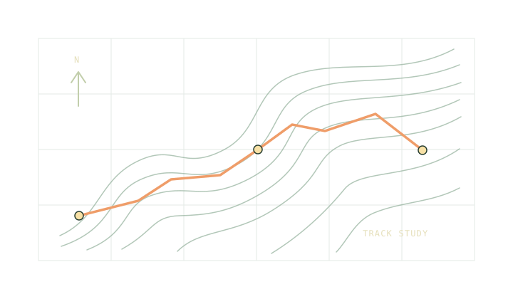
A GPX track usually carries a trace of the path as a series of points. A route can carry just the places you intend to visit in order. A waypoint is a standalone place. For a useful distance estimate from the file, check that the export includes points along the path itself, especially around bends.
On this page
What is inside the file
GPX is a container. A single file can hold a recorded walk, a second proposed itinerary and standalone places such as a gate or a water source. Opening that file in a map app can make these look like one tidy layer. Inside the file, each has a different job.
A track has one or more segments, with points in the order they were recorded or drawn. A route has an ordered list of route points. Both point types can have an elevation, but an exporter may leave it out. The file extension or name tells you very little about the contents. Open it in the GPX route inspector and check the names, the point count and the altitude coverage.
Why a straight line is sometimes shorter
Suppose a path walks 300 m north from a car park and then 400 m east to a junction. A file with all three points traces 700 m along the two legs. If an export keeps only the car park and the junction, the diagonal is about 500 m over that short distance. It gives you a 200 m discrepancy before a slope or a stop enters the calculation.
Try the same mental check on a switchback. Two nearby points can sit a long way apart along the trail. A coarse export can flatten the bends and a poorly recorded export can add apparent wandering. Compare the outline with a current map at a scale that actually shows the bends. The map scale note shows how to estimate the difference on paper.
Keep names, points and breaks separate
If your file includes a route and a recording, switch between them in the inspector and read their labels. Rename ambiguous files in your mapping app before sending copies to other people. Distinguish a route you drew at a desk from one you actually walked. A past recording still says nothing about a bridge, gate or path closure today.
A section where the recorder stopped should show as a break. The recording gaps note shows what to do if the connection is missing. If you can see a line but no summit on the profile, check the elevation coverage before borrowing a climb total from the export.
Bring the useful numbers into the plan
Transfer distance and ascent into the trip planner once you know which geometry you are using. Split the estimate again at places the group can identify. Record any segment you measured by hand so you can revisit the assumption if the mapped route changes.
Keep the original export with your separate map. A route trace does not explain the route’s surface or access, and a coordinate file does not contain a basemap. The offline trip checklist separates those items so you can check each one before leaving.
If several exports have almost identical names, keep the one you checked beside the current plan. A dated filename is more useful than another copy named “route”.
Common questions
Will a route and a track always measure different distances?
No. Two files that contain the same ordered points and segment boundaries will give the same distance here. Sparse route points can produce a different measurement.
Can the inspector turn a waypoint list into a trail?
It needs connected track or route points. Use a mapping tool and a current map to draw a route between standalone waypoints.
Sources
Published 9 November 2026. Reviewed 9 November 2026. Sources support the figures quoted; they do not endorse Trailwright. Report a correction through the owner’s contact page.