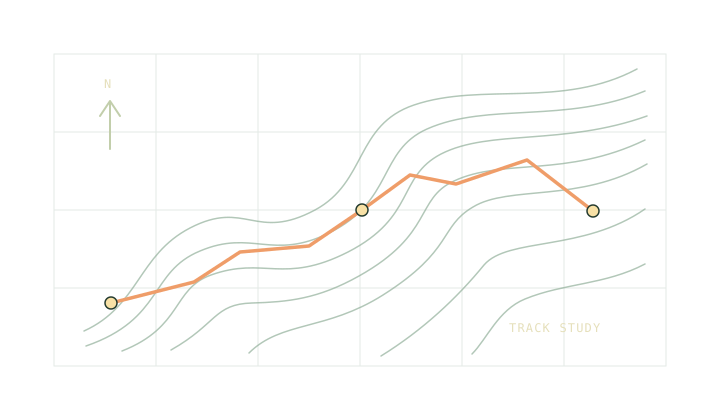
Open a track or route file to see its distance, climbing and shape before you build a schedule.
01 / Open a track
Read your route
Choose a GPX 1.0 or 1.1 file up to 8 MB. The file stays in this tab.
Open a file or try the fictional sample.
02 / Survey sheet
The route at a glance
The profile and north-up trace appear here.
North-up trace only. Use a map for landmarks, access and navigation.
Read the gaps
The profile uses the elevations in your file. Missing values stay missing. Disconnected segments stay disconnected, so a recording break never turns into a straight-line shortcut.