Short answer
Published sunset uses a model horizon. A hill or valley wall can hide the sun earlier, and clouds or deep shade can make a path hard to read before either time. Use the published time as a reference, then choose a more conservative finish deadline for the route you actually expect to walk.
On this page
Separate the published event from the route
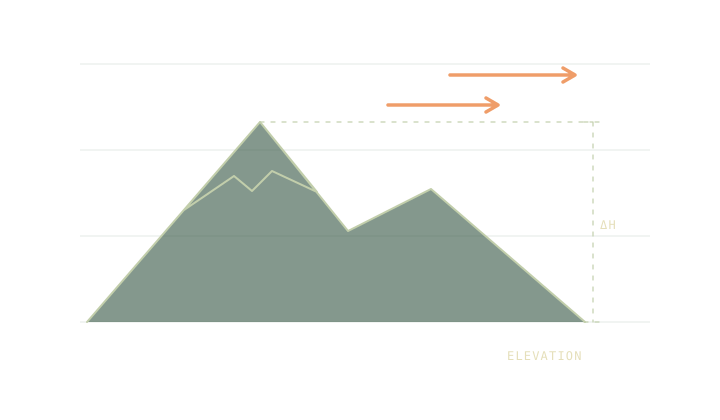
Sunset in a table is calculated for a particular place and horizon convention. On the ground, the ridge where you stand or the valley wall to the west can hide the sun before that model time. The difference depends on the direction and height of the obstruction. An observer on an open ridge can see different conditions from a walker down in the same valley.
The sunset and remaining daylight note explains the astronomical events and their labels. Civil dusk is later than sunset when both events occur, but the term describes the sun’s angle. It is a poor substitute for assessing visibility on a narrow or shaded path.
Explore an obstruction as a scenario
Try Sun & daylight with and without the horizon input. The difference shows how a uniform raised horizon affects the model. Real terrain has an irregular skyline. A ridge at one bearing may make little difference if the sun is setting well to the side of it.
Use a campsite sun bearing or the map to see where the relevant feature lies. A hill between you and the afternoon sun is worth noticing even if it does not sit directly west. If a separate point of the route has different exposure, give that section its own assumption.
Convert clocks and leave a reserve
If an example solar output reads 16:10 UTC and local time is UTC plus one hour on that date, it corresponds to 17:10 local. A chosen finish deadline of 16:40 with a 35-minute reserve gives a 16:05 target. Those last two times come from a planning decision. They are not outputs from the sun model.
Put the deadline in the trip planner and assign a time to be past the most difficult section. The turnaround time calculation can work backwards from that point. If a bus or gate imposes an earlier finish, record that instead. A good plan names the real constraint.
Recheck where darkness matters most
Use current weather and route conditions for the parts where losing visibility would have the most consequence. A clear outlook from the valley does not tell you what to expect on the high part of the route. The point forecast note helps compare forecasts at the places that matter.
Carry and test a light with a backup appropriate to the trip. A timetable cannot know when your footing or navigation will slow down. Before you leave, write down which route section sets the deadline, how you chose it and where you will change plans if you are running late.
If you are repeating a familiar route, write down where shade started on the previous visit and when it happened. Treat that as one observation for that day. Season, cloud and the direction you walk can make the same path behave differently next time.
Common questions
Does the horizon slider change civil twilight?
Trailwright applies it to the sunrise and sunset threshold only. It leaves civil dawn and dusk tied to the standard astronomical definition.
Can I copy the displayed time straight into the trip planner?
Check the date and convert the solar result from UTC to local time first. Set the planner deadline for usable light and other constraints.
Sources
- NOAA solar calculation details
- Trailwright model and assumptions
- National Park Service trip planning guide
Published 9 November 2026. Reviewed 9 November 2026. Sources support the figures quoted; they do not endorse Trailwright. Report a correction through the owner’s contact page.